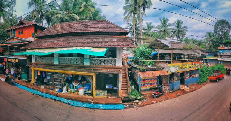
Mukkilpeedika is an extended small town of Valanchery municipality in Malappuram district of Kerala and is situated between Valanchery and Kuttipuram on national highway 66 ( Panvel to Kanyakumari ). Mukkilpeedika was part of Valluvanadu taluk.
Mukkilpeedika is a busy junction town where a main national highway pass through. Kuttipuram via Perashanoor road begins from Mukkilpeedika. Perashanoor and Painkannur are the neighboring places.
Mukkilpeedika and surrounding areas have vast paddy fields where rice is widely cultivated and harvested. Mukkilpeedika shares vast paddy fields of Valanchery. Rice is the major crops of this place. A large number of people depend on rice cultivation for their livelihood. Bharathappuzha, the second longest river in Kerala is flowing through the neighborhood. Bharathappuzha is the main source of water for the paddy fields. Mukkilpeedika and surrounding areas receive huge amounts of rainfall during south west monsoon and north east monsoon like other parts of Kerala experience.
Mukkilpeedika is a Muslim majority town and there is a substantial amount of Hindu community live here. There are many temples and mosques located nearby.
Coconut, arecanut, banana and tapioca are widely cultivated here.


Add a Comment